Maps & GIS
What is GIS?
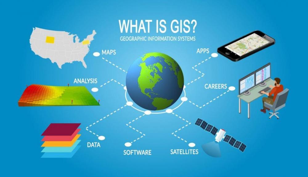
GIS (Geographic Information System) is a system that creates, manages, analyzes, and maps all types of data. GIS connects data to a map, integrating location data (where things are) with all types of descriptive information (what things are like there). This provides a foundation for mapping and analysis that is used in science and almost every industry. GIS helps users understand patterns, relationships, and geographic context. The benefits include improved communication and efficiency as well as better management and decision making.
Why do we need GIS?
Simply put, a GIS (Geographic Information System) combines layers of information about a place to give a better understanding of that place. GIS links maps to databases and creates a visualization of data, and allows interactivity between the map and the data in a database.
How does Payson City use GIS?
Payson City uses GIS to track data and create maps using that data to communicate, perform analysis, share information, and solve complex problems around the City. This helps the City move forward with Development and Growth.
What are some benefits of GIS?
Some of the benefits of GIS in Payson City are:
- Cost savings resulting from greater efficiency.
- Better decision making.
- Improved communication.
- Better geographic information recordkeeping.
- Managing geographically.
Payson City is continually looking for ways to improve their GIS system. If you have any questions or if any Developers, Contractors or Engineers need assistance with shape files or maps contact the GIS Coordinator.